|
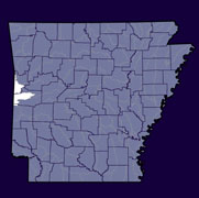
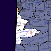
Home to approximately 42,000 Arkansans (2000 Census), the Poteau (see poster) watershed lies within the Arkansas River Basin in Western Arkansas crossing into Oklahoma. The hydrologic unit code for this watershed is 11110105. There is no upstream watershed. The Robert S. Kerr Reservoir (11110104) is downstream. |
||
 |
 |
 |
|
|
|
|
| County Pages (Contact Information) |
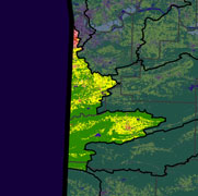
Major Streams | 2006 Land Use (553 Square Miles) |
|
|
|
Poteau 303d Impaired Streams (what is an impaired stream?)
Total Maximum Daily Load (TMDL) Documents (what is a TMDL?)
- Water Quality Survey of the Tyson Foods and City of Waldron Wastewater Treatment Facilities Effluent on the Poteau River. ADEQ Water Division, 1994, 53 p.
- TMDLs for Phosphorus, Copper and Zinc for the Poteau River near Waldron (reach -031L).pdf (29 pages, 246 KB)
- TMDL for Turbidity for Poteau River near Fort Smith (reach -001).pdf (25 pages, 190 KB)
More Watershed-Related Information
