|
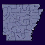
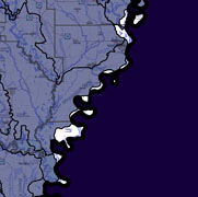
Home to approximately 1,000 Arkansans (2000 Census), the Lower Mississippi-Helena watershed lies within the Mississippi River Basin in Eastern Arkansas along the Mississippi border. The hydrologic unit code for this watershed is 08020100. Three watersheds are upstream: The Lower Mississippi-Memphis (08010100), Lower St. Francis (08020203) and Lower White Watershed (08020303). The Lower Mississippi-Greenville (08030100) is downstream. |
||
 |
 |
 |
|
|
|
|
| County Pages (Contact Information) |
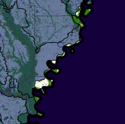
Major Streams | 2006 Land Use (270 Square Miles) |
|
|
|
Lower Mississippi-Helena 303d list Impaired Streams (what is an impaired stream?)
More Watershed-Related Information
- CAST Arkansas Watershed Information System: Lower Mississippi-Helena
-
EPA Surf Your Watershed: Lower Mississippi-Helena
-
USGS Real Time Stream Flow: Lower Mississippi-Helena
-
USGS Links to Water Quality & Groundwater Monitoring Sites: Lower Mississippi-Helena
-
Environmental Statistics Group (Montana State University): Lower Mississippi-Helena
- Lower Mississippi River Conservation Committee
- Water quality of Significantly Publicly Owned Lakes
- MISE Summary Report
- Arkansas Watershed Advisory Group (Spring 2005) - Featured Watershed - Lower Mississippi River Conservation Committee - "The Lower Mississippi River Conservation Committee (LRMCC) is a cooperative, nonprofit organization of state and federal agencies founded to address teh challenges of renewing and effectively managing the natural resources of the Lower Mississippi River"...more on Pages 3 and 4
