|
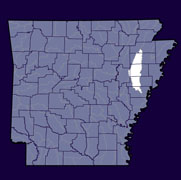
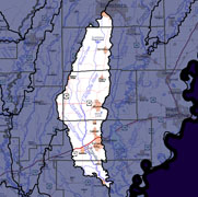
Home to approximately 48,000 Arkansans (2000 Census), the L'Anguille (see poster) watershed lies within the St. Francis River Basin in Eastern Arkansas. The hydrologic unit code for this watershed is 08020205. There is no upstream watershed. The Lower Saline Watershed (08040204) is downstream. |
||
 |
 |
 |
|
|
|
|
| County Pages (Contact Information) |
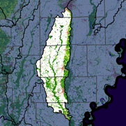
Major Streams | 2006 Land Use (973 Square Miles) |
|
|
|
L'Anguille 303d Impaired Streams (what is an impaired stream?)
Total Maximum Daily Load (TMDL) Documents (what is a TMDL?)
- TMDL for L'Anguille for Turbidity (2002). ADEQ (PDF)
