|
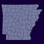
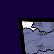
Home to approximately 1,000 Arkansans (2000 Census), the Lake O'The Cherokees watershed lies within the Arkansas River Basin in the Northwest corner of Arkansas crossing into Oklahoma and Missouri. The hydrologic unit code for this watershed is 11070206. Three upstream watersheds feed into Lake O' The Cherokees: Middle Neosho (Kansas), Spring (Missouri), and Elk (Little Sugar) (11070208). The Lower Neosho (Spavinaw) (11070209) is downstream. |
||
 |
 |
 |
|
|
|
|
| County Pages (Contact Information) |
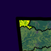
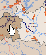
Major Streams | 2006 Land Use (20 Square Miles) |
|
|
|
Lake O' The Cherokees Impaired Streams (what is an impaired stream?)
More Watershed-Related Information
- CAST Arkansas Watershed Information System: Lake O' The Cherokees
-
EPA Surf Your Watershed: Lake O' The Cherokees
-
USGS Real Time Stream Flow: Lake O' The Cherokees
-
USGS Links to Water Quality & Groundwater Monitoring Sites: Lake O' The Cherokees
-
Environmental Statistics Group (Montana State University): Lake O' The Cherokees
