ArkansasWater.org compiles and shares water quality information and resources. It is a collaborative effort - many people and agencies have helped to create and publish the information available at this site. You can become part of the process, please register now!
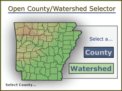
Use the map below to select a county or watershed
Funding for the development of this website came from the Environmental Protection Agency (EPA) through 319 grants administered by the Arkansas Natural Resources Commission (ANRC). The grants were initially awarded to the Arkansas Association of Conservation Districts (AACD), which collaborates with the University of Arkansas Division of Agriculture Cooperative Extension Service (UAEX) for updating and maintaining the website. The website is owned by AACD.

